Doing our part: Marine protected areas in global perspective

Photo credit: IUCN and UNEP-WCMC (Oct 2013). The World Database on Protected Areas (WDPA). Available at: www.protectedplanet.net.
A ‘report card’ released by the David Suzuki Foundation has given Canada’s Marine Protected Areas network an ‘F’. The foundation said that “Canada is a very capable student with lots of potential” but that it “needs to show a greater commitment to completing homework assignments. There is concern that Canada spends too much time talking in class and not enough time creating tangible ‘on-the-water’ results. A change of attitude is required to increase its grades and graduate.” The foundation recommended that the best way for Canada to meet its Marine Protected Area targets would be to combine national MPA network planning with regionally based marine-use planning. Consultation with multiple user groups and coastal communities was also identified as crucial to the creation of MPAs.
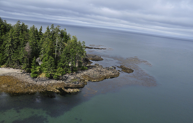
Marine planners have been working hard the last several years to make sure that the ocean in Haida territory is protected so that it will continue to be a source of health, wealth and enjoyment for Haida citizens and other Island residents. In the draft Marine Plan released for public review in April, CHN and the Province of BC set out seventy-three proposed Protection Management Zones (PMZs) and five Special Management Zones (SMZs) in the waters of Haida Gwaii. While the MPA candidate zones proposed in Haida Gwaii’s plan are linked with those of three other plans (North Coast, Central Coast and Northern Vancouver Island) they will become part of the development of a network of MPAs for the Northern Shelf Bioregion – one of thirteen bioregions laid out in the 2011 National Framework for Canada’s Network of Marine Protected Areas.
CHN manages several MPAs with federal partners in the North Coast region, including Sgaan Kinglas Bowie Seamount Marine Protected Area and Gwaii Haanas. Work is also underway to establish Hecate Strait/Queen Charlotte Sound Glass Sponge Reefs Area of Interest as an MPA. But as big an undertaking as these established and proposed MPAs have been, they are only a small part of a global effort.
The International Union for the Conservation of Nature is an international non-government organization dedicated to finding “solutions to our most pressing environment and development challenges”. The creation of a set of standards for setting aside parts of the ocean – from the sea surface to the sea floor – to protect wildlife and habitats has been one of their most influential solutions. Different IUCN marine areas are managed according to the values that people most want to see protected. For example, high protection areas may disallow almost all extractive uses in order to preserve high scientific and ecological values. Other areas with lower levels of protection are managed to balance human use and the ability of the marine environment in that area to remain healthy and productive. Fish and other kinds of marine life don’t recognize borders so it makes sense for everyone to manage their MPAs in a similar way. In order to guarantee consistency in marine management, planning processes all over the world use the IUCN designations – including the draft marine use plan for Haida Gwaii.
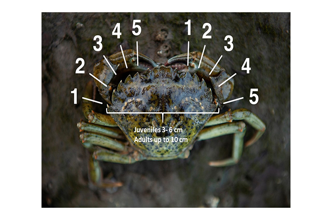
Research on the effects of MPAs indicates that setting aside areas of the ocean for protection and careful management results in positive effects for the ocean ecosystem in the area. Protected areas can help to maintain the diversity and abundance of species found in ecosystems. They can also provide refuges for endangered or threatened species (for example, Northern Abalone) as well as vulnerable sedentary species such as Rockfish.
There are important benefits for people as well. MPAs can support sustainable fishing opportunities; enhance recreation opportunities such as marine tourism; promote cultural heritage; and increase research and monitoring opportunities for communities. Over time, large ‘no-take’ MPAs with carefully managed surrounding areas have also been shown to provide a spillover effect for fisheries. For example, fish have grown larger and more abundantly in and around several MPAs in New Zealand. Furthermore, MPAs that have been in place long enough for ecosystems to regenerate can help scientists understand what marine environments are like without human fishing and other extractive activities. By comparing information from protected areas and non-protected areas, scientific researchers can assess whether marine management outside of protected areas is maintaining the overall health of the oceans.
At the 1992 World Summit of Sustainable Development and the Convention on Biological Diversity, the IUCN – and many others, including the Canadian government – endorsed a goal to establish a global system of MPAs that comprises 10-30% of the world’s oceans and seas by 2012. This target area is still a long way off: currently, the approximately 6,800 established MPAs cover less than two percent of the global seas and oceans.
The world is connected by its oceans. Eighty percent of the global population lives within 100 kilometres of a shoreline, and many people continue to rely on the oceans for their food and livelihoods. Marine planning recognizes that protecting significant parts of the ocean from destructive levels of exploitation can also protect people’s ability to live and flourish with the ocean. Although the waters around Haida Gwaii are only a small part of the world’s oceans, planning for a future on these islands where the ocean and people can prosper is a good step towards realizing this vision.

0 Comments